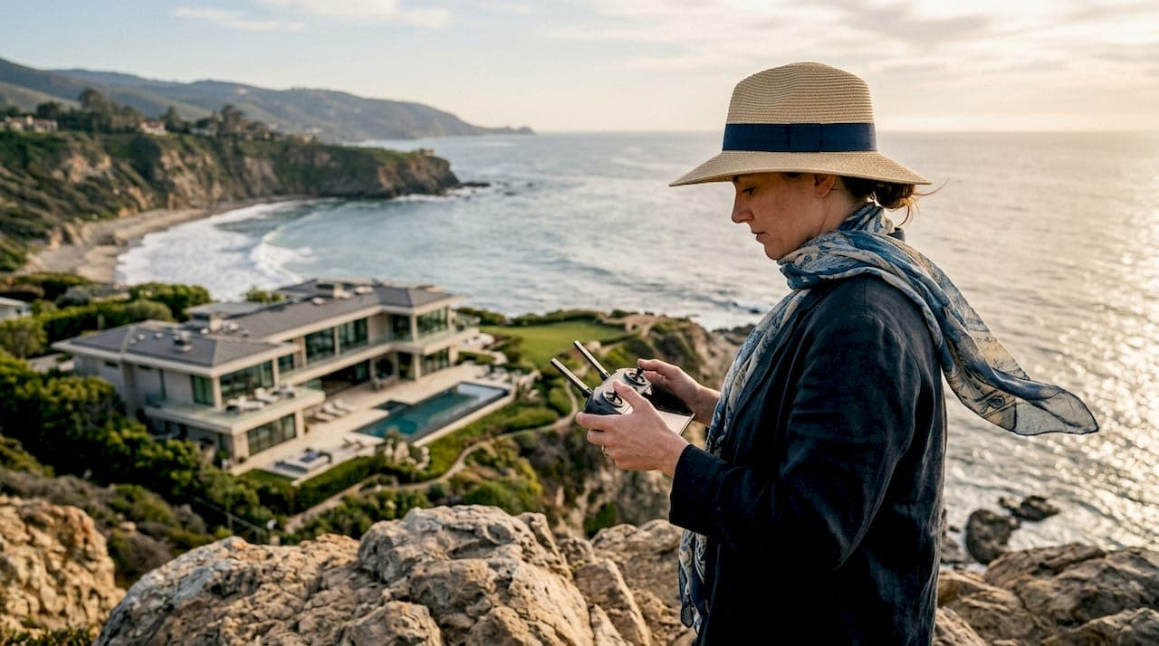
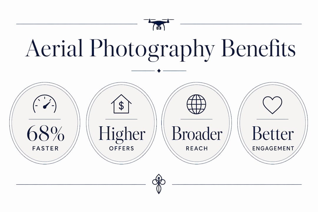
Aerial photography is defined as the practice of capturing property imagery from elevated vantage points, most commonly via drone, to reveal scale, context, and landscape that ground-level cameras cannot reach. The role of aerial photography in luxury listings is to deliver visual context that justifies premium pricing by placing a property within its full geographic and lifestyle setting. Luxury listings using drone and aerial imagery receive up to 68% more views and sell approximately 68% faster in competitive markets. That single figure reframes aerial photography from a stylistic flourish into a measurable marketing asset. Yhluxrealestate applies this principle to every high-end listing it represents in the Las Vegas market, where dramatic desert topography and resort-style estates demand the full sweep of an elevated perspective.
What unique advantages does aerial photography provide for luxury properties?
Aerial photography solves a problem that no ground-level lens can: it shows where a property lives, not just what it looks like. A sprawling estate with a private lake, a golf course fairway, or a mountain ridgeline backdrop cannot communicate its true value from a front-door vantage point. The elevated perspective captures all of that in a single frame.
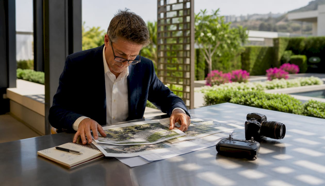
Aerial imagery provides vital context that illustrates the relationship between a property and its surroundings, which directly justifies premium pricing. Buyers who see a home positioned between a private marina and a nature preserve understand the lifestyle proposition immediately. That understanding accelerates decision-making in ways that interior photography alone cannot.
The specific advantages aerial imagery delivers for luxury real estate professionals include the following:
- Scale and acreage clarity. Buyers grasp lot size and building footprint instantly from above, eliminating guesswork about how much land they are actually purchasing.
- Proximity to amenities. A drone shot revealing a golf course, waterfront access, or a city skyline within the property's immediate orbit communicates lifestyle value without a single word of copy.
- Architectural composition. Rooflines, pool configurations, motor courts, and guest structures read as a coherent design from altitude in ways that are invisible at eye level.
- Privacy and boundary visibility. Buyers can assess tree lines, perimeter walls, and neighboring density before scheduling a showing, which filters serious buyers from casual ones.
- Neighborhood context. The surrounding streetscape, green space, and land use patterns tell a buyer whether the property's exclusivity is protected or at risk.
Pro Tip: Request a pre-shoot consultation with your aerial photographer to identify the two or three features that most distinguish the property. Those features should anchor the shot list, not be discovered by accident during the flight.
Drone photography is a critical component of luxury real estate branding, driving buyer engagement from the very first impression. Treating it as an optional add-on is a marketing miscalculation that costs both time and price positioning.
When should aerial photography be used for luxury listings?
Aerial photography is mandatory for properties where land or location context is a key value driver. Waterfront estates, large acreage compounds, golf course adjacencies, and properties with mountain or canyon views all belong in this category without question. The aerial perspective is not supplementary for these listings. It is the primary marketing argument.
The decision framework for real estate professionals follows a clear logic. Apply aerial photography when the property meets one or more of these criteria:
- The lot exceeds one acre. Ground photography cannot convey the full extent of the land. Buyers need altitude to understand what they are buying.
- The location is a primary value driver. Waterfront, golf course, canyon rim, or resort-adjacent properties derive significant price from where they sit, not just what they contain.
- The architectural layout is complex. Multi-structure compounds, circular driveways, and pool-to-landscape relationships read clearly from above and confusingly from the ground.
- Privacy is a selling point. Aerial views confirm tree coverage, wall height, and neighbor distance in ways that buyers cannot verify from street-level images.
- The surrounding neighborhood enhances value. When the immediate environment is an asset, show it. A drone shot of a guard-gated enclave communicates exclusivity at a glance.
Aerial photography should be avoided when it reveals negatives. Aerials that display undesirable features such as dense neighboring structures, proximity to highways, or deferred exterior maintenance can undermine a listing's perceived value. The test is simple: if the view from above adds context that strengthens the price, use it. If it exposes conditions that require explanation, do not.
Pro Tip: Before scheduling a drone shoot, pull up the property on a satellite mapping application and study the surrounding half-mile. What you see from that bird's-eye view is exactly what your aerial photographer will capture. If the view concerns you, it will concern buyers.
How to integrate aerial photography with other visual assets
Aerial imagery delivers the initial impression of grandeur and location. Ground photography then builds the emotional connection to craftsmanship, material quality, and interior warmth. Neither format alone tells the complete story of a luxury property.
The sequencing of visual assets matters as much as their individual quality. Aerial shots placed at the opening of a listing gallery establish scale and setting. Interior photography that follows carries the viewer from the landscape into the home, creating a natural narrative arc. Closing with detail shots of bespoke finishes, garden terraces, or water features completes the sensory portrait.
Integrating aerial content with ground shots requires consistent lighting, color grading, and editing to maintain a polished presentation. A warm-toned interior shot placed beside a cool-toned aerial creates visual dissonance that signals amateur production to discerning buyers. The editing suite is where a luxury listing either coheres or falls apart.
Planning the shoot with precision separates professional results from generic ones. The following elements define a well-executed aerial and ground photography session:
- Golden hour timing. Shoots scheduled at dawn or dusk capture the soft, directional light that flatters architecture and landscape equally.
- Consistent color grading. All images, aerial and ground, should share the same white balance and tonal range so the gallery reads as a unified body of work.
- A defined shot list. Mission-planned aerial photography with specific perspectives communicates scale and features far more effectively than generic top-down passes.
- Staging coordination. Pool water should be clear, outdoor furniture arranged, and vehicles removed before the drone lifts. Aerial shots expose staging oversights that ground angles conceal.
Professional aerial photography services deliver finalized images within 5–7 business days after the shoot, with pre-shoot consultations defining the property's narrative in advance. That turnaround is fast enough to meet listing timelines without sacrificing the planning that separates good work from exceptional work.
Understanding how luxury listing pricing strategies interact with visual marketing helps sellers recognize why aerial imagery is a pricing tool, not merely a decorative one.
What are common mistakes in aerial photography for luxury real estate?
The most consequential mistake is deploying aerial photography on the wrong property. Using aerials that reveal negatives or fail to enhance the listing actively damages buyer perception and can suppress offers. The decision to fly a drone should be as deliberate as the decision to set the asking price.
The second most damaging error is hiring an unqualified operator. Low-quality or hobbyist-style drone shots harm a luxury property's brand perception. Shaky footage, flat lighting, and inconsistent framing signal to buyers that the seller does not take the property's presentation seriously. That perception transfers directly to price negotiations.
Expert practitioners follow a set of disciplines that separate their work from the average:
- Hire for composition, not just certification. FAA Part 107 certification confirms a pilot can fly legally. It does not confirm they understand architectural photography, luxury brand standards, or how to frame a 10,000-square-foot estate for maximum emotional impact.
- Request a portfolio of comparable properties. A photographer who has shot oceanfront estates in Florida may not understand how to frame a desert compound in Nevada. The visual vocabulary differs.
- Use aerial media to qualify buyers. Aerial imagery helps buyers visually qualify layouts and privacy upfront, reducing wasted showings. A buyer who sees the property's full footprint and boundary conditions before visiting arrives with calibrated expectations.
Pro Tip: Ask your aerial photographer to deliver a minimum of three distinct altitude perspectives: a high overview establishing the full property and surroundings, a mid-altitude shot emphasizing the architectural relationship between structures, and a low-angle approach shot that mimics the arrival experience. Together, these three frames tell the complete spatial story.
Professionals who understand the luxury home buying process recognize that aerial imagery functions as a pre-qualification tool, narrowing the buyer pool to those who are genuinely aligned with the property's character and price.
Key Takeaways
Aerial photography is the single most effective tool for communicating the scale, location, and lifestyle value of a luxury property, and listings that use it correctly sell faster and attract more qualified buyers.
| Point | Details |
|---|---|
| Aerial imagery drives measurable results | Luxury listings with drone photography receive up to 68% more views and sell significantly faster. |
| Use aerials selectively | Deploy drone photography only when location, scale, or privacy are genuine value drivers for the listing. |
| Plan every shoot with precision | Mission-planned, site-specific shot lists outperform generic top-down passes in communicating property value. |
| Maintain visual coherence | Consistent color grading and lighting across aerial and ground images signal professional-grade marketing. |
| Aerial media qualifies buyers | Buyers who review aerial imagery before a showing arrive with accurate expectations, reducing wasted appointments. |
Why aerial photography is no longer optional in luxury markets
I have watched the luxury real estate market in Las Vegas evolve from a world where a handful of polished interior shots sufficed to one where buyers expect a complete visual narrative before they ever request a showing. Aerial photography did not create that expectation. Buyers did, because once they saw what a well-executed drone perspective could reveal, ground-only listings began to feel incomplete.
What I find most underappreciated is the qualifying function of aerial imagery. Sellers often focus on the "wow" factor, and that matters. But the deeper value is that a buyer who has studied an aerial view of a property arrives at the showing already emotionally invested in the features that make it exceptional. They are not discovering the estate from scratch. They are confirming what the aerial already told them. That shift in buyer psychology shortens the path to an offer.
The cost-versus-value question comes up often, and my answer is consistent: the cost of professional aerial photography is negligible relative to the price of a luxury listing. What is not negligible is the cost of presenting a $4 million estate with imagery that signals anything less than uncompromising standards. Buyers at this level read presentation as a proxy for how the seller values the property. A hobbyist drone shot communicates the wrong message before a single interior image loads.
The professionals who use aerial photography most effectively treat it as a storytelling instrument, not a technical feature. They plan the narrative before the drone lifts. They know which angle will make the property's relationship to the Las Vegas skyline feel cinematic, and which angle will make the pool terrace feel like a private resort. That intentionality is what separates imagery that sells from imagery that merely documents.
— Yelena
Yhluxrealestate and the art of aerial presentation
Yhluxrealestate brings the same uncompromising standards to visual marketing that it applies to every dimension of luxury real estate representation in Las Vegas. Aerial photography is woven into the listing process from the earliest stages of pre-market preparation, ensuring that each property's scale, setting, and lifestyle proposition are communicated with the clarity that discerning buyers expect.

Backed by the global reach of Sotheby's International Realty and Yelena Horton's deep knowledge of the Las Vegas market, Yhluxrealestate positions every listing to attract qualified buyers from across the country and beyond. Sellers who are ready to present their properties with the visual authority they deserve are invited to connect with Yhluxrealestate for a consultation that begins with strategy, not assumptions.
FAQ
What is the role of aerial photography in luxury listings?
Aerial photography provides the scale, location context, and lifestyle visibility that ground-level imagery cannot deliver. It is the primary tool for communicating why a luxury property commands its asking price.
How much faster do listings with aerial photos sell?
Luxury listings using drone and aerial photography sell approximately 68% faster than comparable listings without aerial imagery, according to 2026 market data from competitive luxury markets.
When should aerial photography be avoided in real estate?
Aerial photography should be avoided when it reveals unflattering conditions such as dense neighboring structures, highway proximity, or deferred exterior maintenance, as these images can suppress buyer interest and offers.
What makes aerial photography effective for luxury real estate marketing?
Mission-planned, site-specific aerial shoots that account for sun position, altitude variation, and architectural composition outperform generic top-down drone passes in communicating a property's full value.
How does aerial imagery affect the buyer qualification process?
Aerial media helps buyers visually assess property layout, privacy, and boundaries before scheduling a showing, which reduces wasted appointments and brings more qualified, prepared buyers to the table.